


Geotab helps improve street-level transportation
Geotab, a global leader in IoT and connected transportation, today announced that its new Geotab Intelligent Transportation Systems (ITS) line of business has launched a transportation analytics platform capable of providing governments with actionable, real-world insights that can be used to improve their transportation networks.
With access to one of the world’s largest organically grown transportation datasets, Geotab ITS aggregates data from tens of millions of connected vehicles to produce actionable transportation insights and urban analytics for transportation leaders across the United States and Canada. These insights are driven from privacy-by-design principles and are provided in a modular, open platform so that partners and customers can quickly interact with the data and integrate it into internal systems, processes and workflows. The end result is a secured and open transportation analytics platform that can be used to study historical and near real-time mobility metrics and trends.
The new Geotab ITS platform, Altitude, is the foundation from which government entities at the local, state and provincial levels can leverage to identify areas for traffic improvements, model and predict the impact of specific interventions and monitor their effectiveness. Combining sophisticated sensors and other measurement tools with rich data analytics, Altitude is capable of helping governments make improvement decisions to increase throughput, identify and eliminate bottlenecks and increase efficiency.
“City planners understand that data is the true north star to better decision-making. With Altitude, transportation leaders gain an additional layer of perspective around traffic data to quickly identify and resolve mobility challenges like freight bottlenecks and struggles around last-mile delivery before they become a problem,” said Mike Branch, Vice President of Data and Analytics at Geotab. “And for problems that already exist, Altitude shines a light onto the root causes of the problems by adding much needed context so that governments can adjust course as needed.”
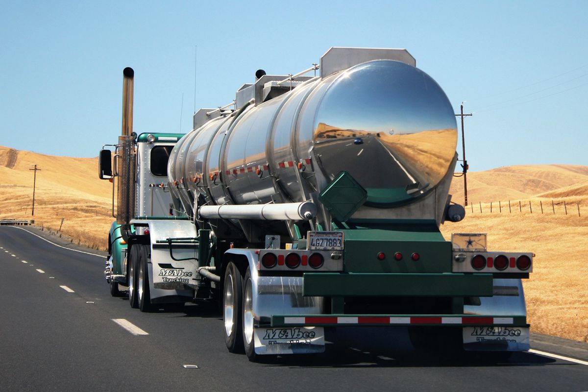
As transportation networks adjust to accommodate drastic changes to traffic flows, particularly over the past two years, local governments need innovative technologies and solutions to plan for and accommodate these changes. Legacy sources of transportation data lack the necessary context and geospatial diversity to effectively characterize these changes, especially with the observed large-scale changes in consumer behaviour, population densities, and last-mile delivery preferences.
Geotab ITS Altitude provides a one-stop shop for departments of transportation
The Altitude platform is a single, integrated solution for transportation data capture, data analysis and data modelling needs, eliminating the need to separately contract for each portion of this transportation analytics value chain.
Altitude is the foundation for three core Geotab ITS products, including:
- Origin & Destination – This product provides aggregate insight into people and goods movement patterns, broken down by vehicle class and trip purpose. It provides a more comprehensive picture of true origins and destinations, independent of rest stops.
- Intersections – This product analyses temporal traffic signal performance and corridor synchronization efficiencies, broken down by vehicle class and turning movements. It helps enable governments to develop better Freight Signal Priority (FSP) plans for the movement of goods in their cities.
- Roads – This product identifies bottlenecks and other traffic anomalies, and characterizes the effectiveness of traffic calming efforts and other forms of intervention. It can also monitor how travel times vary per vehicle class and street segment.
“While initially focused on improving fleet operations to streamline the delivery of public services, our relationships with government transportation agencies have matured over the years to uncover tangible value within their traffic engineering and planning departments,” said Jean Pilon-Bignell, Vice President of Business Development, Government and ITS at Geotab. “By aggregating connected-vehicle data across millions of vehicles on our roads, our customers gain unprecedented visibility and context into how people and goods move in their local jurisdictions, without the need for large ITS sensor deployments. We truly believe that our new Geotab ITS solutions will help to improve traffic in the cities where we live, and in the process, will quickly position Geotab as a leader in the burgeoning transportation analytics market.”
The Altitude platform is available in the U.S. and Canada. For more information on the platform and Geotab Intelligent Transportation Systems, visit: its.geotab.com.